OSM Dashboard for OpenTracks
OpenStreetMap dashboard for OpenTracks
| AppID: | de.storchp.opentracks.osmplugin |
| Author: | OpenTracks Team |
| License: | Apache-2.0 |
| Donation: | LiberaPay |
| InRepoSince: | 2024-11-10 |
| LastRepoUpdate: | 2025-08-21 |
| LastAppUpdate: | Unknown |
| LastVersion: | 6.4.1 |
| Categories: | Navigation, Sports & Health |
| Google Play: | Check if it's there |
Can be used as standalone GPX and location viewer as well.
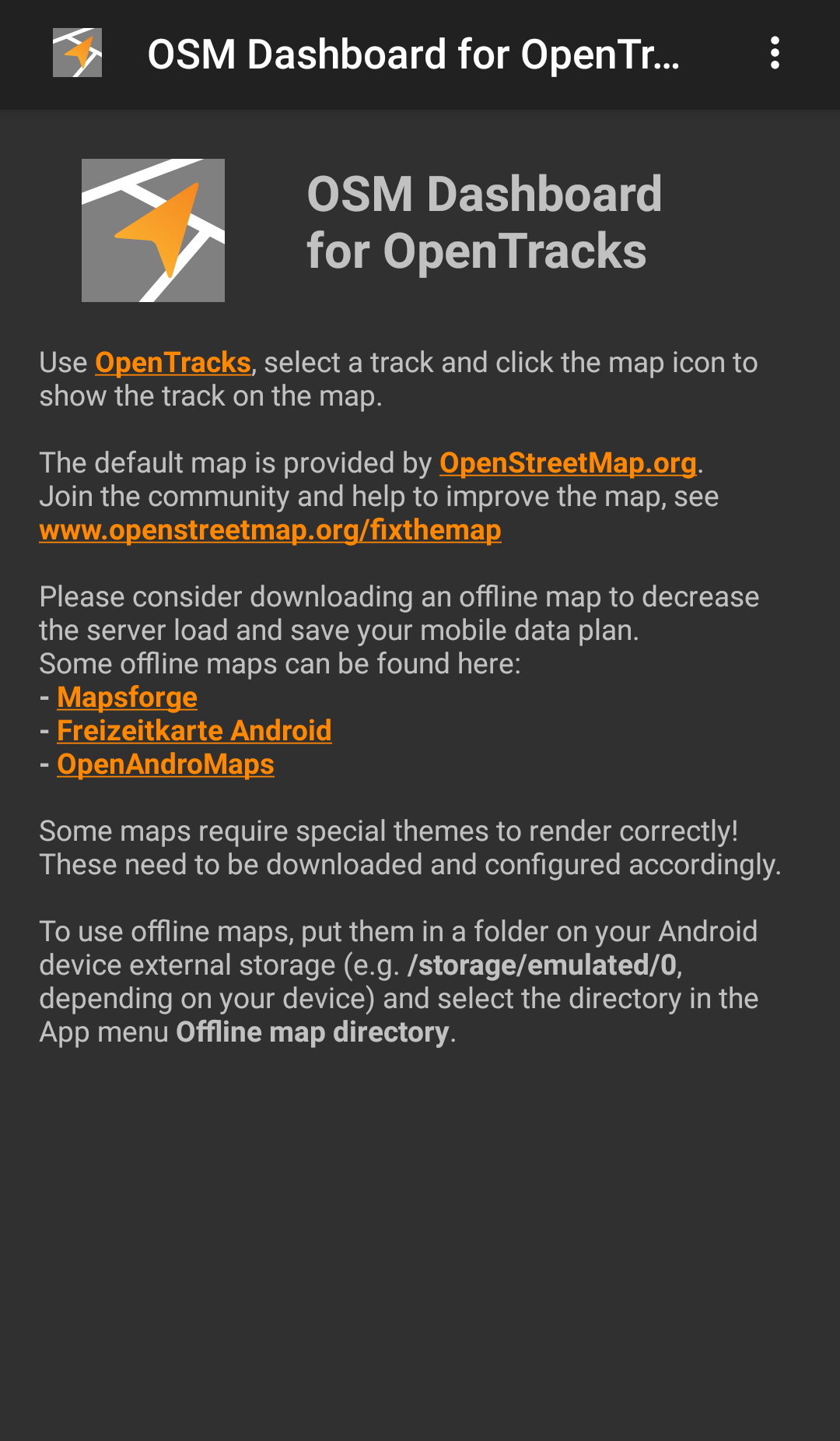
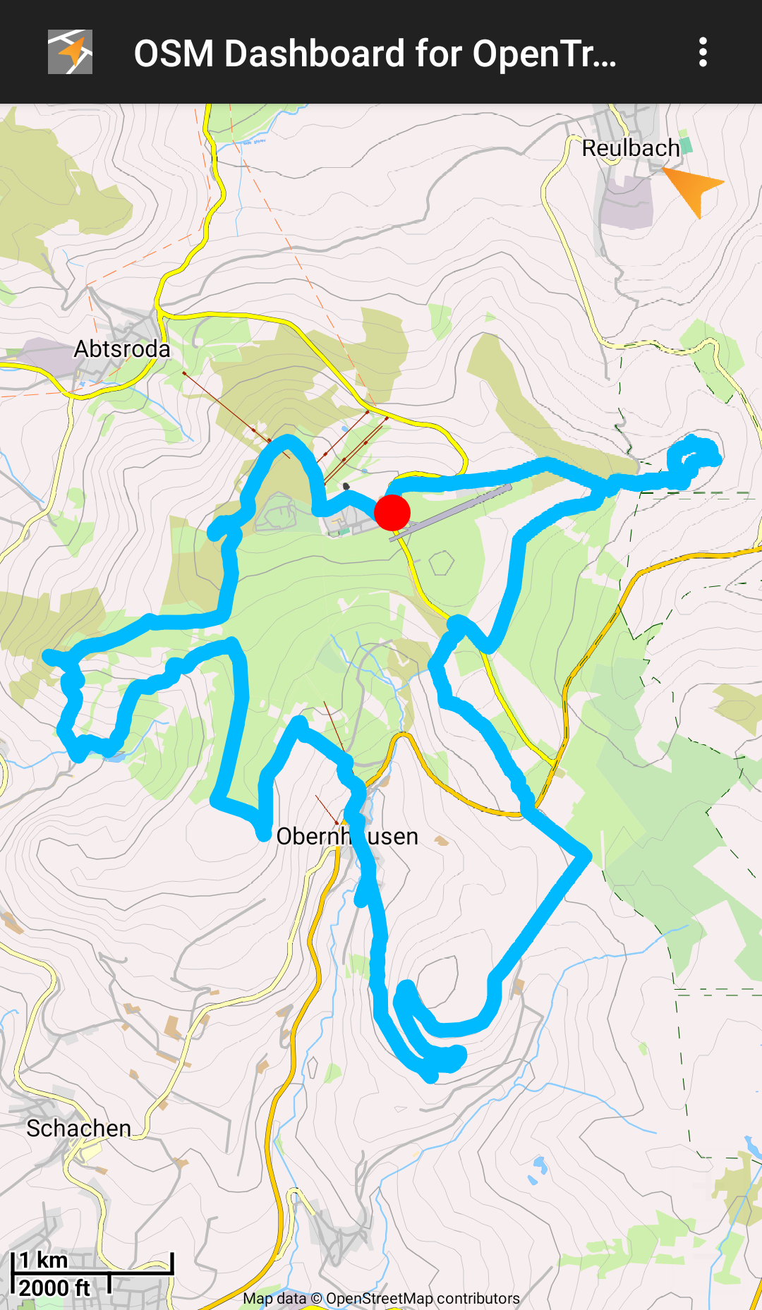
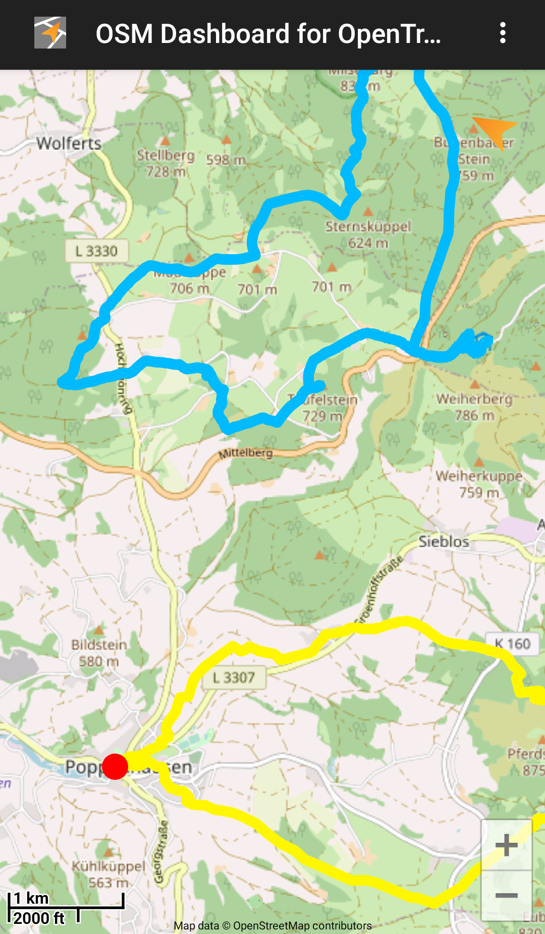
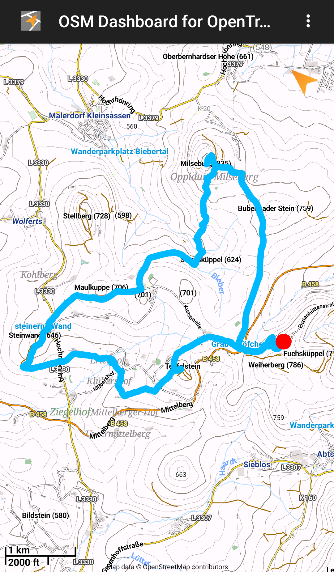
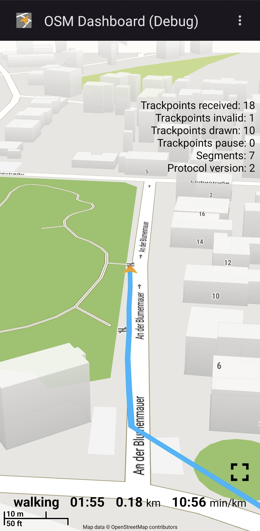
It shows a selected track with start- and endpoints on a map from OpenStreetMap based on the Mapsforge VTM library.
The default is an online map, but offline maps are supported as well. With offline maps, there is no necessity for a mobile data plan.
The default map is provided by OpenStreetMap.org.
Join the community and help to improve the map, see www.openstreetmap.org/fixthemap
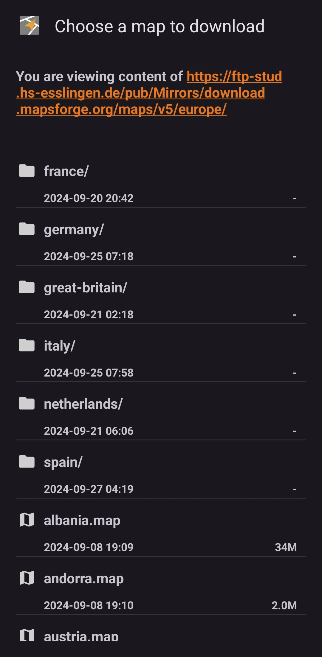
Please consider downloading an offline map to decrease the server load and save your mobile data plan.
Some offline maps can be found here:
- Mapsforge
- Freizeitkarte Android
- OpenAndroMaps
Some maps require special themes to render correctly! These need to be downloaded and configured accordingly.
Offline maps can be downloaded via the menu "Map download" or by visiting the above mentioned websites and click the download links. Some browsers (e.g. Firefox) require a long click on the link and "Open link in external app" and then choose OSMDashboard.
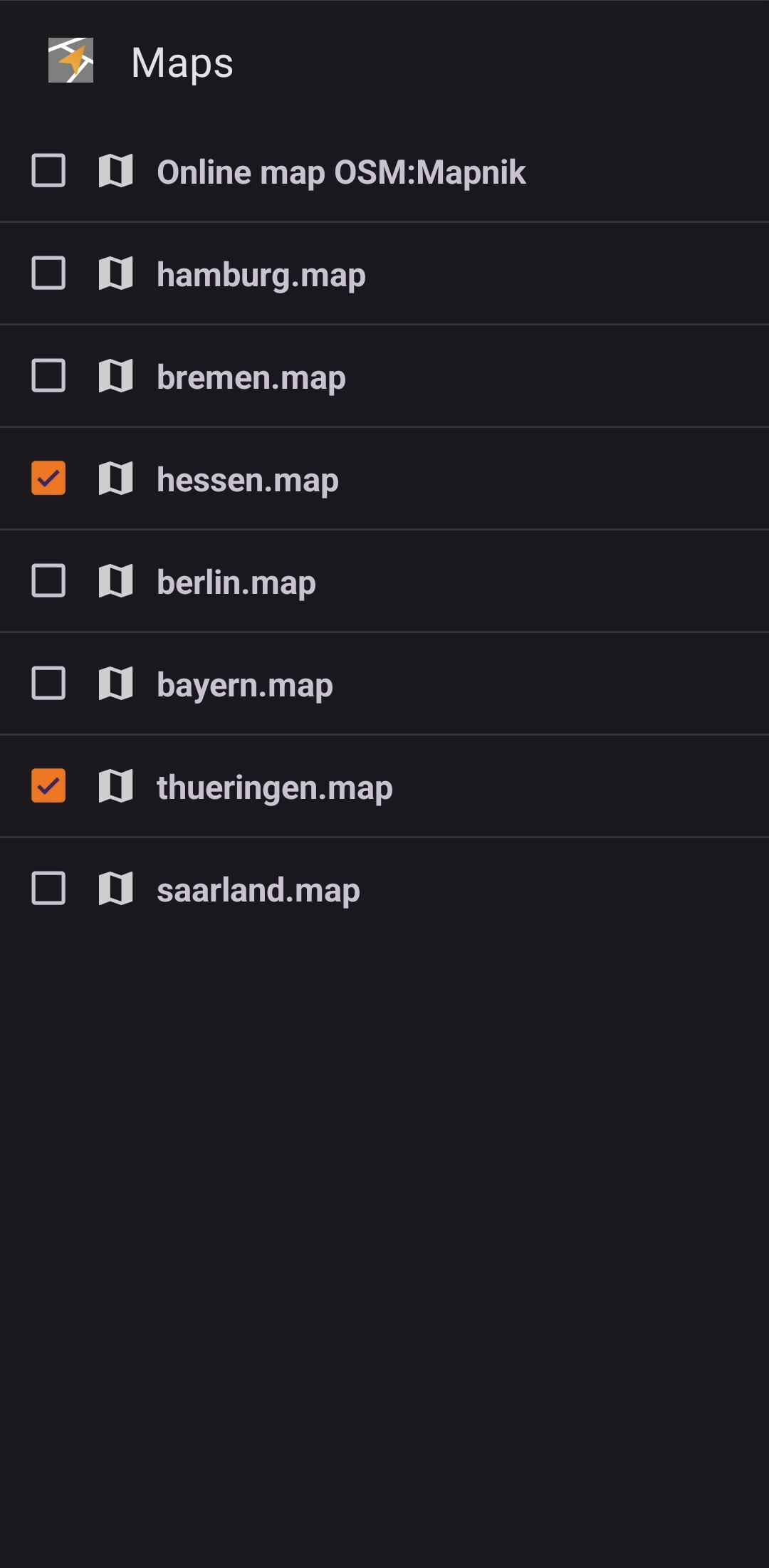
Manual downloaded offline maps or maps shared with other apps can be opened from your Android device. Select the directory in the menu "Map directory".
WhatsNew:
- Downgrade Android Gradle Plugin to 8.11.1 for F-Droid
While you can download the APKs here directly, you should preferably use an F-Droid client so the app stays up-to-date on your device.
Packages
Version 6.4.1 (2025-08-21) 

Android Versions:
- Target: 16.0
- MinVer: 8.0
- ABIs: arm64-v8a, armeabi-v7a, x86, x86_64
Permissions:
Malware-Check:
Download (7.1 M)