BoatSpeedy
Route planner for canoes and boats, GPS speedometer and battery analytics
| Repo: | F-Droid.Org |
| AppID: | de.kewl.boatspeedy |
| Author: | Glenn-Dandy |
| License: | MIT |
| Donation: | Webpage |
| InRepoSince: | 2026-09-17 |
| LastRepoUpdate: | 2026-10-29 |
| LastAppUpdate: | Unknown |
| LastVersion: | 1.5.2 |
| Categories: | Navigation, Sports & Health |
| Google Play: | Check if it's there |
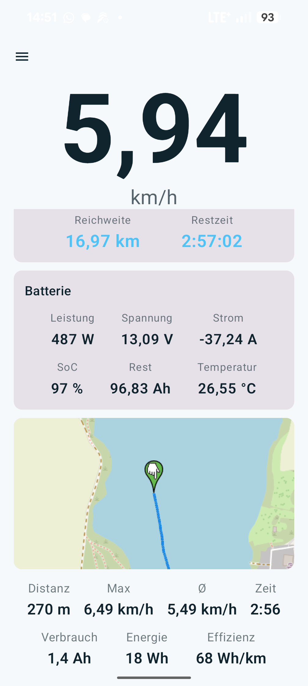
 GPS boat speedometer and navigation for small boats. Under motor, paddle or oars. A Bluetooth BMS or a coulometer on the pack adds live values and range.
Navigation: route planner for canoes and boats
* Set a destination on the map: straight line or a route along the waterways, with distance and estimated draw
* Load the waterways onto the device as tiles, routes up to 600 km, map server selectable
* Craft type, motorboat or canoe, decides which bans apply
* Around the weir by canoe: portages, put-ins and egress points from OpenStreetMap
* Locks and weirs on the route, tap one for hours, phone and chamber size
* Seamarks are tappable, speed signs show their number
* Map north up or course up, marker and map glide
Speed and trip
* Large readout, km/h or knots, decimals configurable
* Start and stop through a foreground service, keeps measuring with the screen off
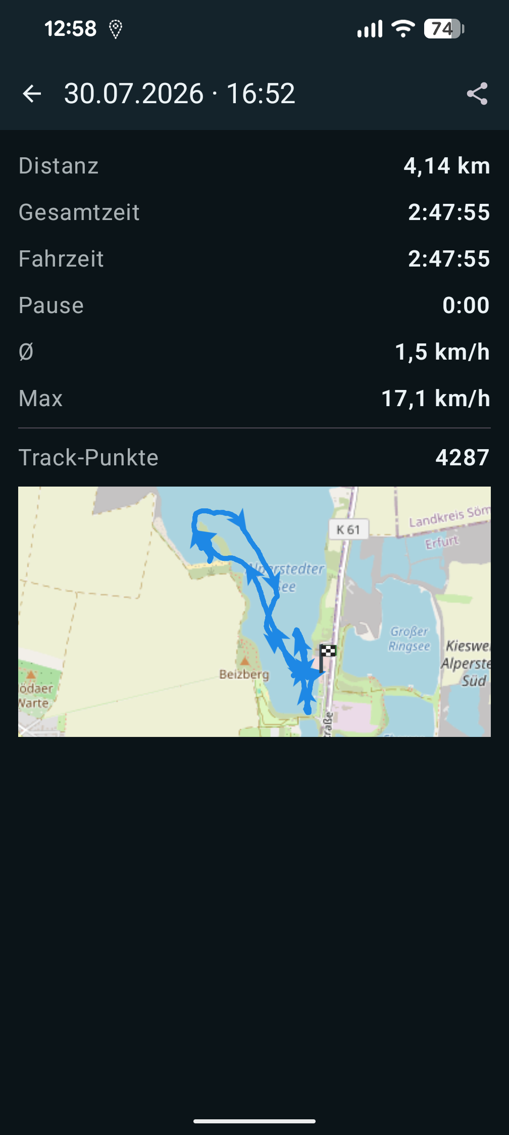
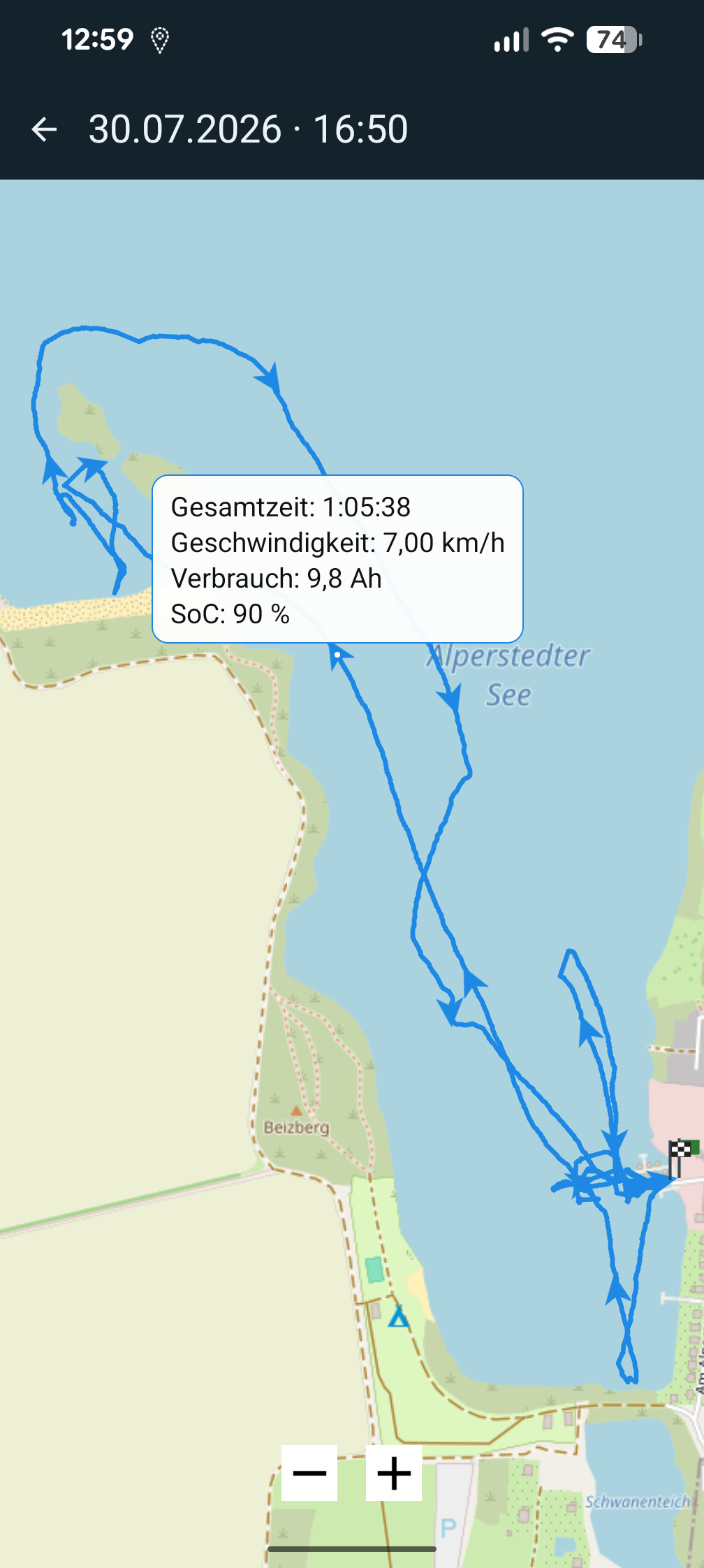
* Trip history with distance, times, Ah, Wh and Wh/km, GPX export and import
* Satellite and GPS status, smoothing of the raw value
Battery (Bluetooth LE)
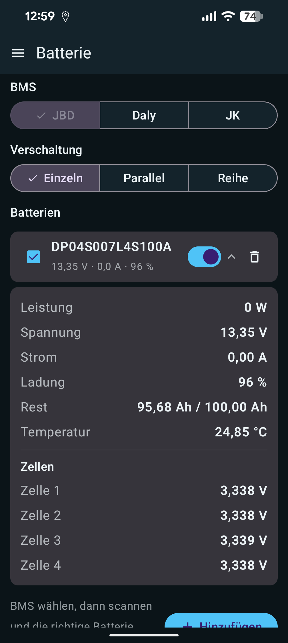
* Several packs, wiring single, parallel or series
* Voltage, current, state of charge, remaining Ah, temperature, cells
* Range and remaining time at the current speed, time-averaged
* JBD and Redodo/LiTime/Power Queen verified on hardware, Daly and JK experimental
* Coulometer with a Hall sensor for packs without Bluetooth, verified too
* Charging mode with time to full and an alert at a chosen level
Weather and safety
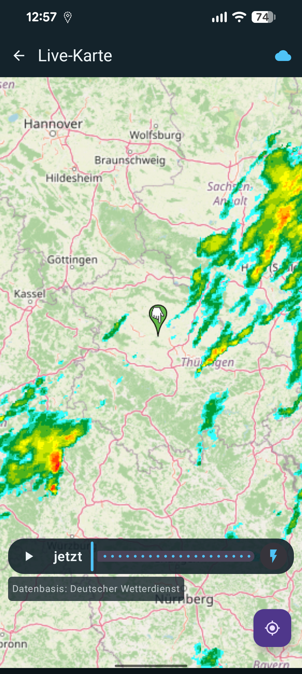
* DWD rain radar, readings from the nearest station, wind direction
* Weather warnings for thunderstorm and storm
* Anchor watch with a drag alarm
What the app talks to
* Base map from OpenStreetMap, seamark overlay from tiles.openseamap.org
* Waterway tiles for routing from boatspeedy.wozise.de, a server run by the author. The data comes from OpenStreetMap, the generator is open source (Glenn-Dandy/boatspeedy-mapdata)
* Without matching tiles, routing asks the public Overpass servers
* Weather and warnings from the Deutscher Wetterdienst, via maps.dwd.de and api.brightsky.dev
* Update check at api.github.com, only when you tap it
Free and open source, without Google Play Services. Maps and waterways © OpenStreetMap contributors (ODbL), seamarks OpenSeaMap (CC BY-SA), weather from the Deutscher Wetterdienst (CC BY 4.0).
Website: https://boatspeedy.wozise.de/en/
WhatsNew:
1.5.2
* Rain radar reworked: opens at about 150 km, shows Germany without GPS, rain no longer jumps, loads faster
* Canoe: river stretches tagged canoe=no are portaged like a weir
* wozise.de on the About page
 Anti-Features:
TetheredNet(This app is bound to a certain network service):
⇒ Offline routing downloads waterway tiles from a server run by the app author. The data is from OpenStreetMap (ODbL) and the generator is open source, but there is no setting to point the app at another instance.
While you can download the APKs here directly, you should preferably use an F-Droid client so the app stays up-to-date on your device.
Packages
Version 1.5.2 (2026-10-29) 

Android Versions:
- Target: 15.0
- MinVer: 13.0
- ABIs: arm64-v8a, armeabi-v7a, x86, x86_64
Permissions:
Features:
Malware-Check:
Download (3.9 M)